Map Data
Location-Based Insight
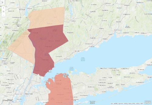
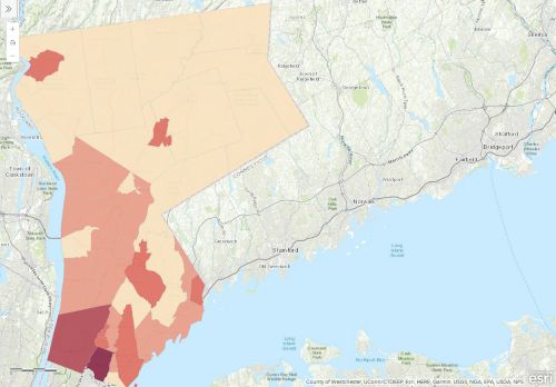
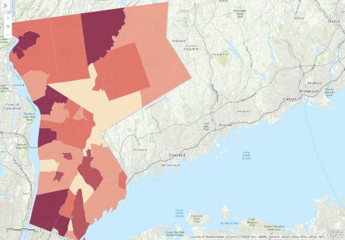
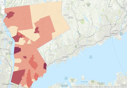
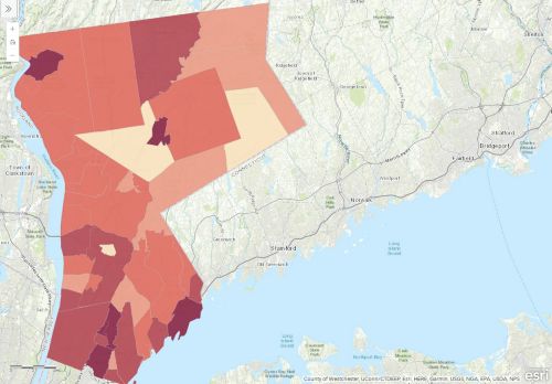
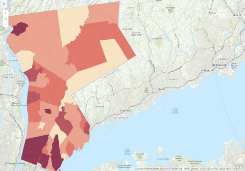
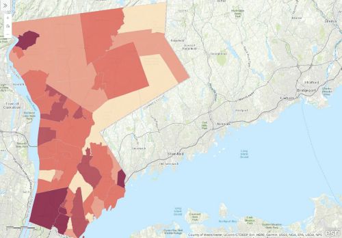
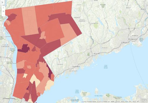
The maps below provide visualizations of a variety of indicator data, showing how they impact different parts of our county in different ways. These maps provide county-level data but get more interesting as you zoom in to view the data at the local level. Here, we can see how indicators such as poverty, income and demographic levels vary tremendously within our cities, towns and villages.
Children Youth

Single Female-Headed Households
The percentage of households headed by females living with one or more related family members.

VIEW MAP

Community

Households without Vehicles
The number of households which do not report having a vehicle kept at the home, available for use, expressed as a percentage of all households.

VIEW MAP

Demographics

People with Disabilities
The percentage of people living with a disability, out of all people not living in institutions.

VIEW MAP

Language Diversity
The share of people ages 5 and older in a geographic area who speak a language other than English at home. This includes both people who speak English well and those who do not.

VIEW MAP

People 65 or Older Living Alone
The share of people 65 or older in a geographic area who are living alone.

VIEW MAP

Economic Security

People Living in Poverty
The estimated number of people with incomes below the poverty line, as a percentage of those for whom poverty status has been determined. Poverty thresholds vary by family composition and year. In 2020, the threshold for a four-person family with two children was $26,246.

VIEW MAP

Seniors Living in Poverty
The estimated proportion of people 65 and older with incomes below the poverty line. In 2020, the threshold for a person 65 or older was $12,413.

VIEW MAP

Rent Burdened Households
The share of rental housing units with people paying 30% or more of their income in rent.

VIEW MAP


Loading...